Median price trend for houses
Based on 149 sales in the preceding 12 months
$463,000
Up 3.5% over 12 months
- 2 bed
- $410k
- 3 bed
- $442k
- 4 bed
- $556k


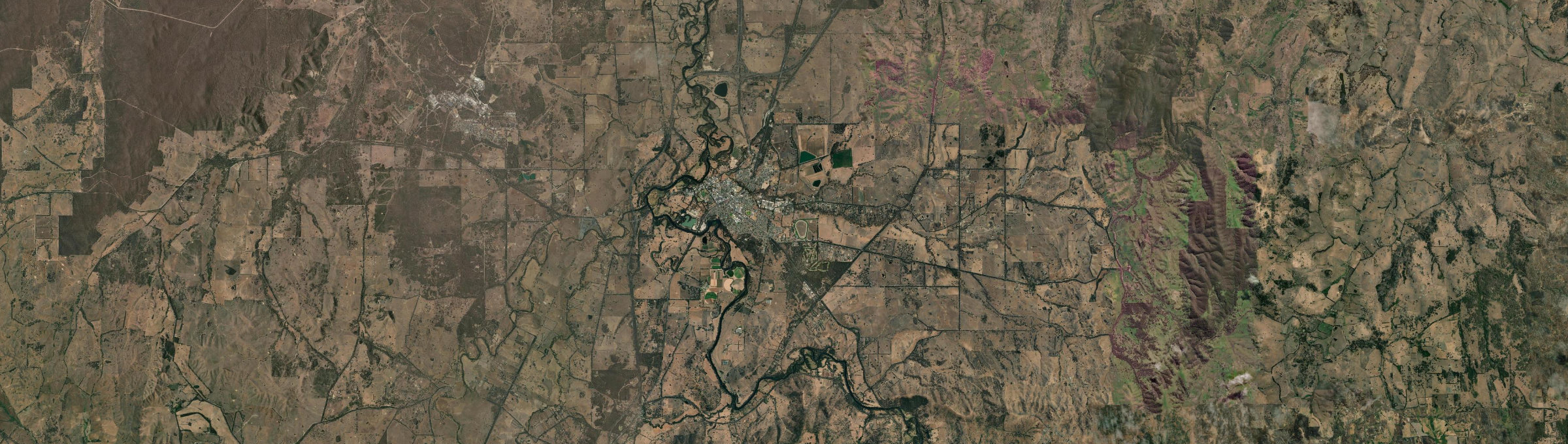
Aerial view
The quick read on
VIC 3660 · Mitchell
What homes cost, how rents have moved, and a feel for the people who call it home.
latest suburb median
latest suburb median
ABS 2021
Seymour, Victoria
Median sale price and rental income of properties in Seymour (Vic.) VIC
Based on 149 sales in the preceding 12 months
$463,000
Up 3.5% over 12 months
Based on 77 rental listings in the preceding 12 months
$475 per week
Up 11.8% over 12 months
Market data updated November 2026.
The median house price in Seymour (Vic.), VIC is currently $463,000, based on the latest 12 months of sales. Seymour (Vic.) has a 12-month growth rate of 3.5% for houses and 42.0% for units.
Two-bedroom houses have a median sale price of $410,000, Three-bedroom houses have a median sale price of $442,000, Four-bedroom houses have a median sale price of $556,000 in Seymour (Vic.).
If you're looking to lease, the median rent for houses in Seymour (Vic.) is $475 per week. The median house rent has increased 11.8% over the last 12 months.
The median price of apartments and units for sale in Seymour (Vic.) is $338,000, which has increased 42.0% since the same time last year. Two-bedroom apartments and units have a median sale price of $320,000 in Seymour (Vic.). The median rent for units and apartments in Seymour (Vic.) is $350 per week and has increased 3.6% over the last 12 months.
Crime and safety
The overall rate for Seymour is 8,272 offences per 100,000 residents — 71% above the Rest of Vic. benchmark.
That is the clearest suburb-wide answer. Open the detailed profile to see how the pattern changes across offence types and different parts of Seymour.
Overall crime rate
8,272
offences per 100,000 residents
71% aboveRest of Vic.
Suburb-wide estimate from Microburbs' public crime model; it is not an address-level measure.
The people behind the postcode
Seymour VIC 3660 is in Victoria, within Rest of Vic..
6,569 people call Seymour home, with an average of 2.2 people per household and a median household income of $1,165 a week.
Public ABS 2021 Census figures. The bars compare the local share with the capital-region benchmark.
Share of residents in each age band.
Share of occupied private dwellings.
Share of homes with a stated ownership or rental status.
Vehicles available to occupied households.
Selected ways residents worked or travelled on Census day.
8.6% of workers in Seymour worked from home on Census day — less common than across Rest of Vic..
43.6% of people in Seymour described themselves as having no religion in the 2021 Census.
A closer look at the Census
Open any question for a plain-English reading of the public 2021 Census for Seymour VIC 3660.
15.1% of Seymour's residents were children under 15 in the 2021 Census. That is close to the Rest of Vic. average.
1,699 family households lived in Seymour; 31.1% were couple families and 25.5% were one-parent families.
30.9% of local families included children under 15. That is somewhat below the Rest of Vic. average.
These are suburb-wide household figures, not school or childcare ratings.
Seymour had 6,569 residents at the 2021 Census.
22.2% of residents were aged 25 to 44.
38.5% were 55 or older. That is close to the Rest of Vic. average.
Age shares use the suburb’s total Census population.
Separate houses made up 90.1% of occupied private dwellings in Seymour.
Townhouses and other attached homes represented 9.0% of occupied private dwellings.
Flats and apartments accounted for 0.1% of occupied private dwellings.
All three shares use occupied private dwellings as the denominator.
38.2% of households with a stated tenure owned their home outright. That is somewhat below the Rest of Vic. average.
28.1% were buying their home with a mortgage.
33.6% rented their home. That is well above the Rest of Vic. average.
Tenure shares include households that stated one of these three arrangements.
The average household in Seymour had 2.2 people.
One-person households made up 34.1% of occupied homes. That is somewhat above the Rest of Vic. average.
Two-person households represented 35.2%, while 16.7% had four or more usual residents.
Household size counts usual residents in occupied homes.
8.6% of workers worked from home on Census day. That is well below the Rest of Vic. average.
63.8% drove a car as their only travel method. That is close to the Rest of Vic. average.
0.7% used only a train, tram or bus, while 5.6% walked or cycled.
Travel figures are a 2021 Census-day snapshot.
8.8% of occupied households had no motor vehicle available. That is about twice the Rest of Vic. rate.
One-car households formed 38.8% of the total.
52.5% of households had two or more vehicles.
Vehicle counts refer to occupied households, not individual residents.
62.5% were at the same address five years earlier, while 37.5% reported a different address.
11.3% of residents were born outside Australia. That is close to the Rest of Vic. average.
Mobility figures cover residents who answered the relevant Census question.
84.8% of residents used only English at home.
6.6% used a language other than English at home.
1.8% spoke Mandarin at home, 0.1% spoke Cantonese and 0.2% spoke Hindi.
Home language is separate from English proficiency.
11.3% of Seymour's population was born outside Australia, while roughly 88.7% was born in Australia.
1.8% of residents were born in China.
0.7% were born in India, while Australian citizenship across the whole suburb stood at 86.3%.
Birthplace, citizenship and ancestry describe different parts of identity.
English ancestry accounted for 38.6% of ancestry responses in Seymour.
Australian ancestry made up 39.5% of responses.
Chinese ancestry represented 2.2% of responses.
People may nominate more than one ancestry, so these are shares of responses.
11.6% of employed residents worked in professional occupations. That is well below the Rest of Vic. average.
Managers accounted for 11.4% of employed residents, while clerical and administrative workers made up 11.2%.
Health care and social assistance employed 13.4% of workers, and education and training employed 6.6%.
Occupation and industry figures describe employed residents of the suburb.
The labour-force participation rate was 51.3%, compared with 57.4% across Rest of Vic..
26.6% of residents aged 15 and over worked full time, while 17.6% worked part time.
Unemployment was 5.9%, compared with 4.1% across Rest of Vic..
Labour-force figures come from the 2021 Census.
47.9% reported no selected long-term health condition.
13.3% reported a long-term mental health condition, including depression or anxiety.
10.8% reported asthma, 12.8% arthritis and 7.5% diabetes excluding gestational diabetes.
These are self-reported suburb-wide Census figures, not address-level health risks.
14.1% of people in the qualifications table held a bachelor degree. That is well below the Rest of Vic. average.
Postgraduate degrees accounted for 3.3% of qualification responses.
Diploma-level qualifications represented 14.7%, while certificate-level qualifications represented 41.7%.
Qualification categories are reported separately and are not school ratings.
Median household income was $1,165 per week in the 2021 Census.
The median monthly mortgage repayment reported by local households was $1,300.
Occupied renting households reported a median rent of $250 per week.
These household figures are from 2021; current sale and asking-rent medians appear in the market section.
Working from home was 8.6% in Seymour, compared with 15.1% across Rest of Vic..
Outright ownership was 38.2% locally and 40.9% across Rest of Vic.. That is somewhat below the Rest of Vic. average.
Renting accounted for 33.6% in Seymour, against 24.5% across Rest of Vic..
Capital-region comparisons use the same Census definitions and year.
Three useful questions
The median house price is $463,000, while units and apartments sit at $338,000. Bedroom count, land and condition still create a wide range around those suburb medians.
The Census counted 1,699 local families, and 15.1% of residents were under 15. That describes the community; school quality, travel times and the right fit for a particular family need separate research.
4-bedroom houses have a median around $556,000, the closest bedroom benchmark we hold to a $1.5m budget. Individual homes can differ substantially with block size, renovation and location.
Medians describe recorded market activity across the suburb; they are historical context, not a valuation or forecast for an individual home.
Explore the area
Street-by-street reports are not published yet. The streets below are the ones this suburb covers.
Compare nearby suburb prices, rents and five-year market trends.
Keep exploring
Use the finders to compare places and properties, or open the full report when you need the street, risk, schools and growth research.
Figures update as new market and census data arrives. This suburb overview is general information, not a valuation or financial advice.