
What we found
- Castlecrag's streets make a castle. Fifteen of its 31 streets start with 'The', from The Bulwark to The Postern.
- Only one suburb has a bigger share. Manyana, on the NSW south coast, has 17 of its 25 streets starting with 'The'.
- A Darwin street was a runway. Ross Smith landed there in December 1919, 28 days after leaving London.
- Adelaide's Union Jack is a myth. Colonel Light Gardens was planned as a garden suburb, partly on a wartime army camp.
Our research: What the build year of a home tells you
The story: why are Castlecrag's streets named after a castle?
Castlecrag sits on the lower North Shore of Sydney, on a ridge above Middle Harbour. It takes its name from a rocky crag known locally as Edinburgh Castle.
The streets in its older southern part are named after parts of a castle. The Bulwark, The Rampart, The Parapet, The Postern and The Battlement are among them. In our scan, 15 of its 31 streets start with 'The'.
Walter Burley Griffin and Marion Mahony Griffin, the couple who designed Canberra, planned the estate. The first block sold on 26 November 1921. Their roads bend around the ridge instead of following a grid.
Which suburbs have the most streets starting with 'The'?
Across Australia, about one street in 200 starts with 'The'. Most suburbs have none at all.
Manyana, on the NSW south coast, leads with 17 of its 25 streets. Castlecrag comes second, with nearly half. Tallwoods Village, on the NSW mid north coast, is third with 11 of 38.
We counted every suburb with at least 20 named streets, 6,389 suburbs in all.
Was a Darwin street really a runway?
Yes. Ross Smith Avenue in Parap, Darwin, runs along the old airstrip.
Ross and Keith Smith left London on 12 November 1919. They landed at Parap on 10 December, 28 days later. It was the first flight from England to Australia.
The planes left in 1946, when flights moved to the larger airfield. Houses then went in along the old strip. Nearby streets are named after early flyers and explorers, such as Hudson Fysh Avenue.
Is Colonel Light Gardens shaped like a Union Jack?
Some people say this Adelaide suburb looks like a Union Jack from above. Others see the rising sun badge of the Australian army.
It was not designed that way, says the local historical society. The state government bought the land in June 1915 for a model garden suburb. Part of it was an army training camp during the First World War.
The plan followed the ideas of town planner Charles Reade, who toured Australia in 1914. It gave the suburb rounded corners and wide, tree-lined streets. The whole suburb became a State Heritage Area in 2000.
How we made this reel
- We scanned 545,000 streets. We grouped every named street in Australia by the suburb it sits in.
- We counted the odd ones out. We looked for names starting with 'The' and streets that bend far more than most.
- Then we checked the history. Each story was checked against a second record, from estate plans to place name registers.
What it means for you
- Check when your street was built. Every suburb report gives the typical build year of its homes, pocket by pocket.
- Old plans still shape a suburb. Castlecrag's roads still follow the ridge the Griffins planned around in 1921.
- Look below the suburb. Each report splits the suburb into small areas, each with its own figures.
Where to see it on Microburbs
- Build year, in every suburb report. Open Market and read the typical year the homes were built, pocket by pocket.
Get the data
The street counts in this reel come from Microburbs research. The closest request live in our API today is build year: when the homes in a suburb went up. In Unley, Adelaide, the typical home was built in 1959. One in ten is older than 1920 and one in ten dates from 2022 or later, across 3,036 homes read on 10 November 2026.
Try it now, free. This request is free for our sample suburbs, one in each state and territory, with no sign up and no card:
curl "https://api.microburbs.com.au/v1/suburbs/Unley/market/built-year" \
  -H "Authorization: Bearer test"
What it sent back on 10 November 2026, cut to three of its 75 small areas:
{
  "data": {
    "area_name": "Unley",
    "area_level": "suburb",
    "median_yr": 1959,
    "p10_yr": 1920,
    "p90_yr": 2022,
    "modal_era": "1950_1979",
    "n_props": 3036,
    "n_mbs": 75,
    "mbs": [
      {
        "mb": "40195300000",
        "median_yr": 1979.0,
        "p10_yr": 1950.0,
        "p90_yr": 2002.0,
        "modal_era": "1950_1979",
        "n_props": 40
      },
      {
        "mb": "40195360000",
        "median_yr": 1953.0,
        "p10_yr": 1933.0,
        "p90_yr": 2004.0,
        "modal_era": "1920_1949",
        "n_props": 44
      },
      {
        "mb": "40195370000",
        "median_yr": 1957.0,
        "p10_yr": 1934.0,
        "p90_yr": 1977.0,
        "modal_era": "1950_1979",
        "n_props": 50
      }
    ]
  }
}
See the full API docs for every request, the price of each and how to get a key for the rest of Australia.
See when any suburb was built
Build year, in every suburb report. Open Market and read the typical year the homes were built.
More reels
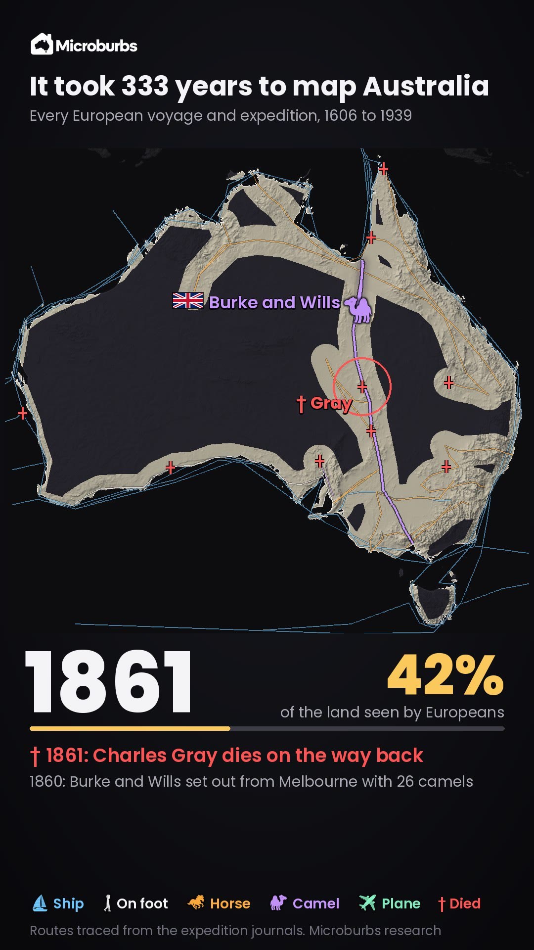 When was Australia explored? The main European voyages and expeditions, 1606 to 1939
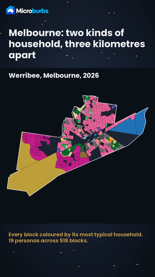 Who lives in Werribee? Young families on the new estates, older singles near the centre
 Australian property data by address: every block in the country, and who lives on it
 What to check before buying a house: what the listing photos leave out