
What the reel says
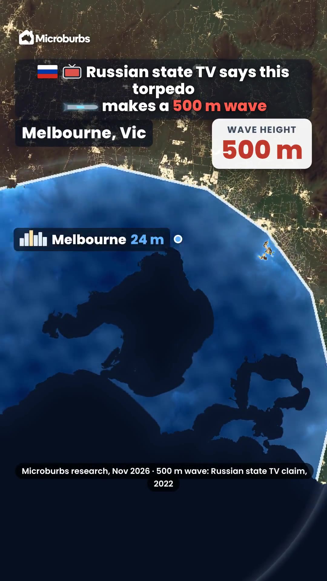
- At 500 metres, nearly 90% of the land goes under. Only the high ranges stay dry. But one bomb is one point, and its wave fades fast. The Boxing Day tsunami came from a crack in the seafloor 1,300 km long.
- Set off near Moreton Island, it's about 10 metres at the nearest beach. Moreton and Stradbroke take the hit. Across the bay it's about 3 metres at Wynnum and 2 in the river. The CBD, 20 metres up, stays dry.
- Poseidon may never come. Floods do. A few metres of height decide whose homes go under.
Sources
Data: Microburbs research, November 2026 (home addresses and ground height). 500 m wave: Russian state TV claim, 2022.
Get the data
The ground heights in this reel come from Microburbs research. The closest request live in our API today is flood risk: how much of a suburb sits in a flood zone.
Try it now, free
This request is free on our sample areas, one in each state and territory, with no sign up and no card.
curl "https://api.microburbs.com.au/v1/suburbs/Fortitude%20Valley/risks/flood" \
  -H "Authorization: Bearer test"
See the full API docs for every request, its price and how to get a key for the rest of Australia.